SERVICES
GISc DATA ACQUISITION
- Assembly and synthesis of data from divergent sources, including field acquisition, publication research, and public-domain and commercial geospatial providers
- Geospatialization of tabular datasets
- Development of specialized geodatabases
- Preparation of proprietary base maps
GEOSPATIAL ANALYSIS
- Analysis of complex spatial data for decision-making, site analysis, planning and marketing
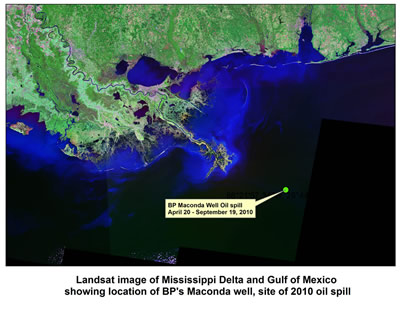
- Remote sensing interpretation
- Proprietary and non-proprietary studies
- Preparation of proprietary interpretive maps
GISc TRAINING COURSES
- Mapping and Analyzing our World and Its Environments
- ArcGIS for Petroleum Exploration
- ArcGIS for Earth and Environmental Scientists
- ArcGIS for Geotechs
- Customized training courses for specific industries
GIS PROGRAMMING
- Programming of GIS software for specialized analysis functions
- Customization of existing GIS software interfaces for specialized applications
In recent years RGS has worked in the following industries and fields:
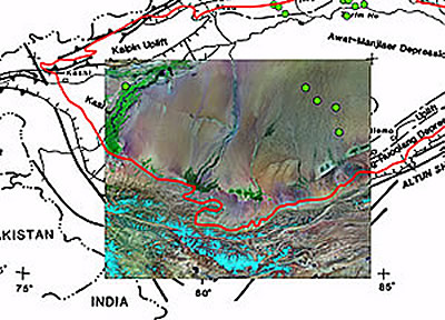
- Oil and gas exploration and development
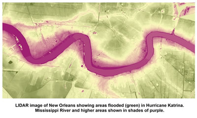
- Marine and fluvial environment studies
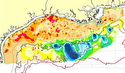
- Groundwater and surface water resources
- Rural water utilities
- Public health, family medicine and medical geology
- American Viticultural Area petition research and preparation